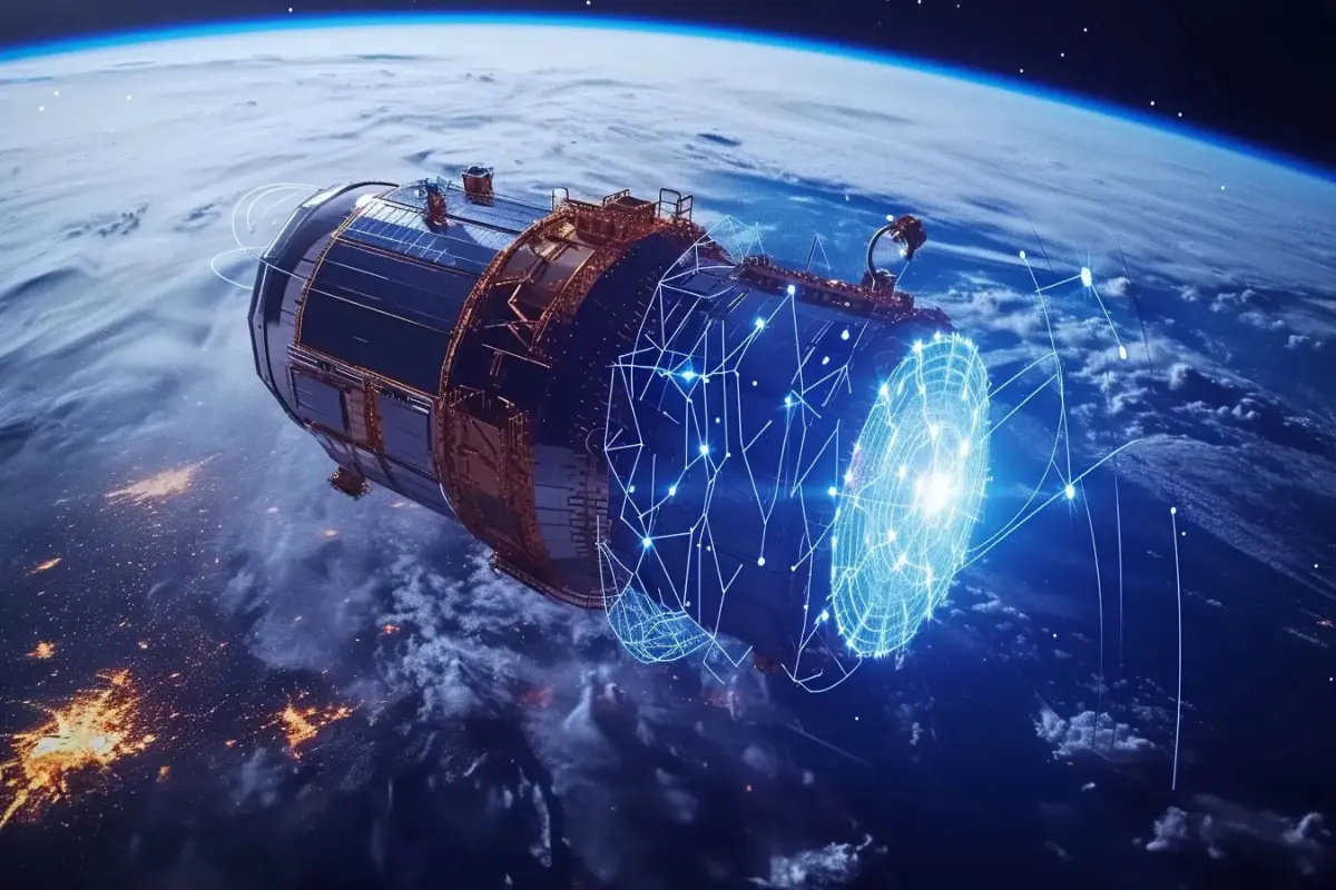
Earth’s orbit is becoming increasingly crowded, and the rising volume of debris has turned satellite safety into one of the biggest challenges facing the global space industry. Even a fragment measuring a few millimetres can cause catastrophic damage when travelling at tens of thousands of kilometres per hour. Experts estimate that more than a million objects measuring at least one centimetre are currently circling the planet, making constant monitoring essential for safeguarding high-value space missions.
This mounting risk has accelerated the adoption of AI in Space Debris Management, as companies and research teams race to develop tools capable of predicting collisions and managing increasingly congested orbital environments. Indian space engineers are emerging as key players in this transformation, combining advanced analytics with artificial intelligence to create smarter, safer satellite operations.
Indian Start-ups Turn to Artificial Intelligence for Orbital Awareness
Bengaluru-based Digantara Industries is among the companies leading the push toward AI-driven space safety. Founder and CEO Anirudh Sharma recently highlighted the frequency of near-miss alerts experienced by satellites.
Speaking to Press Trust of India, Sharma noted that even relatively small satellites receive numerous conjunction warnings each year. Such alerts underscore the urgent need for smarter monitoring systems capable of predicting where debris will travel days in advance.
Digantara focuses on space situational awareness, tracking active and defunct satellites, fragments from past missions, and even near-Earth objects. While traditional statistical models have long been used to predict orbital paths, the company has introduced AI-based software that detects patterns and identifies emerging risks more effectively as orbital congestion grows.
Trustworthy AI Becomes a Strategic Necessity
Industry leaders say that AI is rapidly evolving from a convenience into a mission-critical safety tool. According to A K Bhatt, Director General of Indian Space Association, the surge in orbital activity means that trustworthy artificial intelligence is no longer optional.
AI-driven systems enable satellite operators to process massive streams of tracking data, identify potential hazards early, and plan manoeuvres with greater accuracy. As India’s space ecosystem expands with private sector innovation and international collaboration, advanced analytics are helping companies design missions that are both efficient and resilient.
Artificial Intelligence: From Debris Tracking to Autonomous Satellite Operations
The next frontier for AI in Space Debris Management lies in autonomy. Engineers are working toward satellites that can make real-time decisions without human intervention. Sharma’s team is developing algorithms that allow spacecraft to communicate with one another, recognise threats, and execute collision-avoidance manoeuvres automatically.
Such technology could dramatically reduce the risk of orbital accidents, especially as mega-constellations and commercial missions multiply. Experts believe that within the next five years, autonomous satellite operations could become standard practice, ensuring long-term sustainability in Earth’s increasingly crowded orbits.
AI Revolutionises Satellite Imaging and Data Processing
Beyond safety, artificial intelligence is transforming how satellites collect and interpret data. Earth observation start-up Pixxel Space is using AI to process enormous volumes of imagery captured by its advanced sensors. Founder and CEO Awais Ahmed explains that the sheer scale of satellite imagery—often measured in petabytes—makes manual analysis impossible.
AI systems can identify subtle changes across landscapes, supporting applications ranging from border monitoring and agriculture to environmental protection and infrastructure management. Pixxel’s Aurora platform integrates hyperspectral, multispectral and radar data to provide a more comprehensive understanding of Earth’s surface.
Looking ahead, Ahmed envisions satellites equipped with onboard computing power capable of analysing images directly in orbit. Instead of transmitting massive datasets back to Earth, spacecraft could send only refined insights, saving bandwidth and accelerating decision-making.
Expanding AI Applications in Geospatial and Satellite Analytics
Artificial intelligence is also reshaping geospatial technologies. Esri India recently announced a major investment to establish a GIS and AI Competency Centre in Noida. Managing Director Agendra Kumar stated that the initiative aims to combine data science, AI and geospatial expertise to help organisations extract deeper insights from complex datasets and automate routine workflows.
Meanwhile, Suhora Technologies is using AI to streamline satellite image analysis. Chief Technology Officer and co-founder Rupesh Kumar said the company’s algorithms automatically classify imagery, remove low-quality data such as cloud interference, and detect subtle terrain or infrastructure changes over time. The company is also building predictive models to help industries anticipate future developments and make proactive decisions.
AI Drives the Future of Satellite Communications
Artificial intelligence is reshaping not only imaging and safety but also the satellite communications sector. Viasat India Managing Director Gautam Sharma said that AI is enabling networks to analyse their own performance data, predict congestion, and identify service disruptions before they escalate.
By automating troubleshooting and optimising bandwidth allocation, AI is improving service reliability even as traffic volumes surge. This shift toward cognitive infrastructure represents a major evolution in how satellite networks are designed and managed.